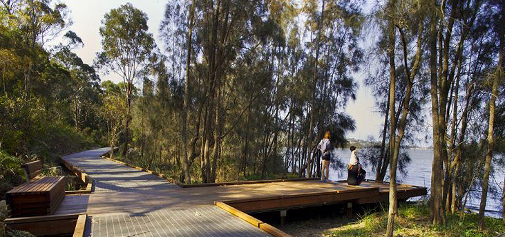








Call a friend, it’s time to get outside and enjoy some sunshine and the many benefits we all know walking brings. Here are 14 pram-friendly walking tracks both local to Ryde and a bit further afield.
1. Kokoda Memorial Walk
Start at Bray’s Bay Reserve, Rhodes
Distance: 1.6kms return
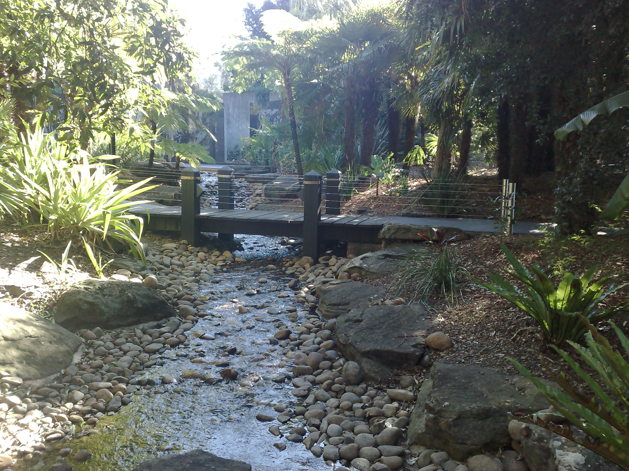
The Kokoda Track Memorial Walkway is a peaceful, historical walk that spans about 800 metres between Rhodes Station to Concord Hospital. The walk is very flat and easy for little legs to manage. Along the way, you will find the Kokoda Cafe, where you can stop for a snack and a drink! (PSA: The cafe is closed on Mondays). Entry to the Memorial Walk is via the Memorial Rose Garden.
More information here.
2. Parramatta River Foreshore
Start at Lennox Bridge on Church Street, Parramatta
Distance: 1.6kms return
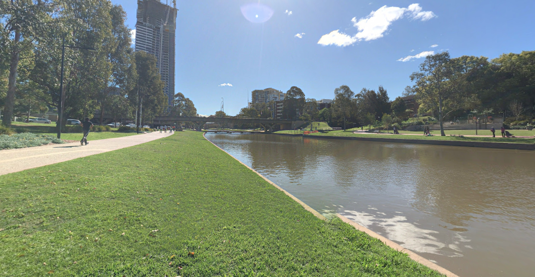
This is a short but beautiful walk along the Parramatta River, using the pathways that run along both sides of the river. While running right through busy Parramatta, the walk itself is very peaceful. The best spot for parking is on the carpark on Church Street – entrance on Phillip Street.
More information here.
3. Ryde Riverwalk – Putney to Meadowbank
Start at Kissing Point Park in Putney
Distance: 2.8kms return
The Ryde Riverwalk is a 12km bridge-to-bridge walk that provides walkers and cyclists with lovely river and city skyline views as it passes through bays, parks and playgrounds, bushland and mangroves, past historic and aboriginal and more.
You can pick any section, or our suggested section, which is from Kissing Point Park in Putney to Anderson Park in Ryde (Meadowbank side) – an easy 1.4km walk (each way) that follows the river. Start at either end and when you reach the other side you can let the kids out for a play and snack before heading back. Toilets and picnic tables can be found at both ends of the walk.
More information about Ryde River Walks here.
4. Rhodes Foreshore Walk
Start at the water near Lewis Ave Rhodes
Distance: Flexible depending on how long you’d like to walk. Can easily do 1km or 5km+.
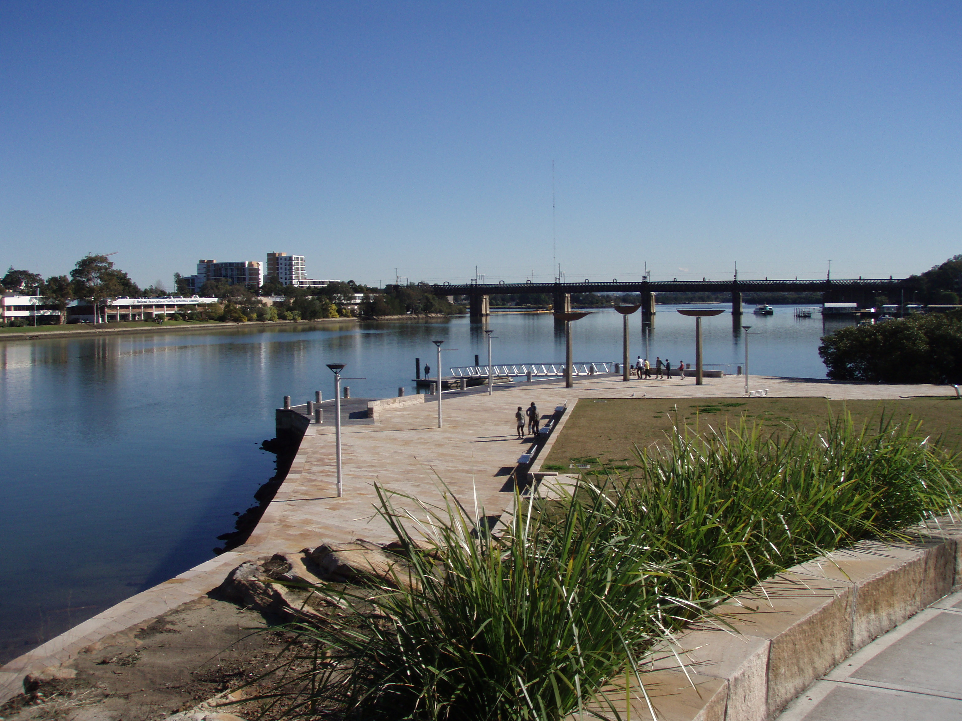
To start this beautiful walk along the Parramatta River, you can either park at or Rhodes Waterside or Rhodes Central. They both have free parking and are handy if you need a few groceries before heading home. There’s also 2P street parking.
It’s a super wide path with grassed areas along the way, a fenced playground for the little kids, filtered water stations, two cafes (Bare Witness & Left of Field Rhodes) and you can either continue on the Rhodes side to walk down towards Meadowbank or you can walk over Bennelong Bridge like we did and you’ll be in Wentworth Point at Marina Square.
5. Parramatta Park
Start at the Gatehouse Tearooms – inside the park on the corner Pitt and Macquarie Street
Distance: 3.2km loop
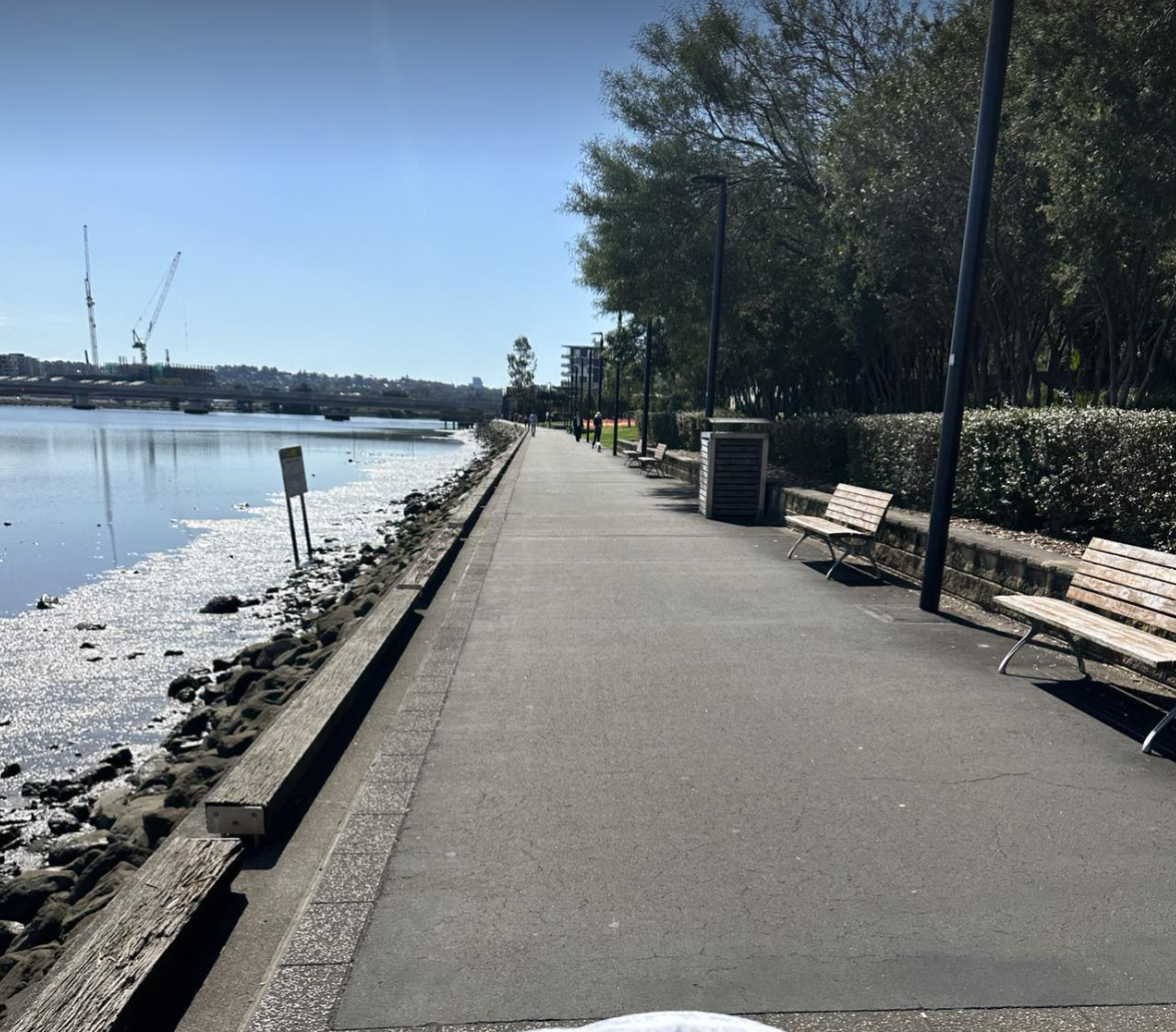
Parramatta Park covers 85 hectares and features picnic areas, playgrounds, historic sites, events venues and cafes – you can read all about it in our write up. It also has a fantastic and easy walking track that is a 3.2km loop. Enjoy a bit of scenery as you pass historic buildings like Old Government House and the Dairy Cottage, as well as the Boer War Memorial, The Crescent and the Parramatta River.
More information here.

6. Pioneer Park, Marsfield
Start anywhere on the lap.
Distance: Various depending on how many laps you do!
This is a great option when it is a warm day. Pioneer Park is a baseball field with a walking track around the outside that is mainly flat with one slight hill. There is a toilet block at the park as well as an older (but sound) kids playground and also some ninja warrior/gymnastic equipment spread out around the track. There are plenty of mature trees providing share to approximately 70% of the track, two BBQ stations and plenty of seating scattered around the park as well.
You can do as many laps as you like. There are 2 main access points – first you can enter via the driveway on Herring Rd. You need to be driving towards Epping Road – entry is on the left and there is a small sign indicating Pioneer Park entry (it looks like you are driving in the housing estate). Keep left and follow the long driveway down to the parking area in front of the park. You can also enter via Plunkett St and park on the street.

7. Shrimptons Creek, North Ryde
Starts at Santa Rosa Park, Ryde
Distance: 4km return
This shared pedestrian/cycle path goes from Quarry Road to Waterloo Road. It is fairly flat, follows Shrimptons Creek and passes through a number of playgrounds along the way. You’ll find plenty of parking in the local streets in Macquarie Park and in the Macquarie Centre carpark (free for the first 3 hours). Take a lunch and toilet stop at Macquarie Centre or have a play at Elouera Reserve.
More information here.
8. Sydney Olympic Park
Start at Bicentennial Drive, Concord West
Distance: 5.5km loop
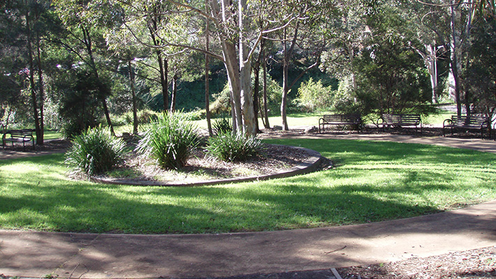
We’re spoilt for choice with 35km of walking path to enjoy at Sydney Olympic Park, but our favourite is the track around Lake Belvedere. Follow the winding timber boardwalk and pass through the largest mangrove forest remaining on the Parramatta River. Enjoy fun pit-stops on the way such as playground and picnic areas. You will also pass by bubblers and toilets.
More information here.
9. The Bay Run
Start at Henley Marine Drive, Drummoyne
Distance: 7km loop
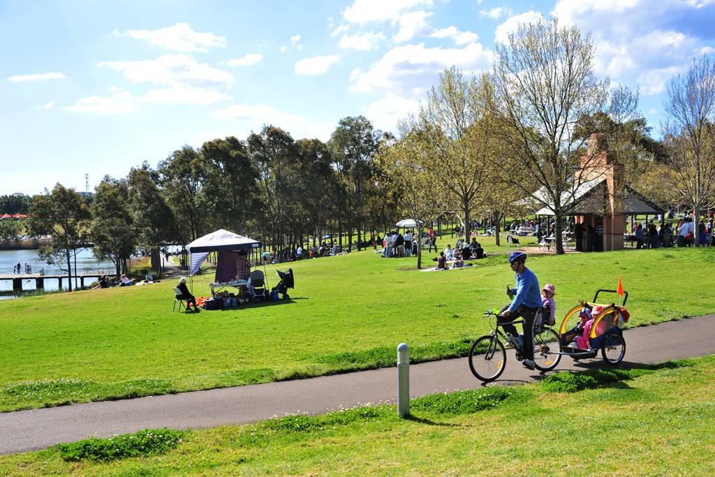
Looping through Drummoyne, Five Dock and Rozelle, this gorgeous circuit has beautiful water views the whole distance. It is very popular with runners, bike riders and pram pushers alike, which means it can often be congested. However, it’s wide, flat and there is a separate bike path for safety. Weekdays are your best bet for avoiding peak times! There are plenty of bubblers along the track as well as a few playground and opportunities for coffee or lunch in cafes.
More information here.
Further Afield
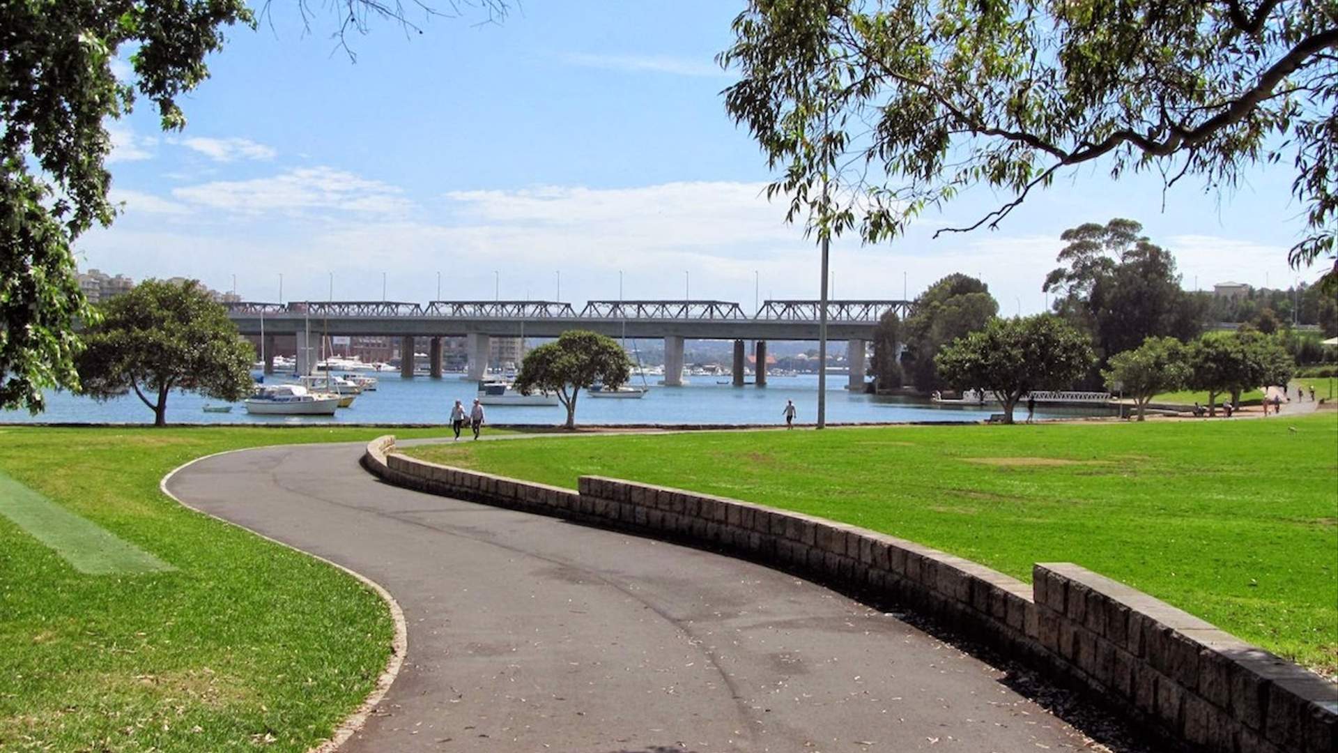
10. Glebe Foreshore Walk
Start at Rozelle Bay, Chapman Road next to Bicentennial Park
Distance: 4km return
The Glebe Foreshore Walk is an easy and picturesque walk that starts at Bicentennial Park and goes all the way to the Sydney Fish Markets, passing Rozelle Bay and Blackwattle Bay along the way. There are a number of playgrounds, toilets and cafes on the way, and of course, fantastic city views to enjoy. Why not stop at the Sydney Fish Markets for lunch to make this walk a great day out.
More information here.
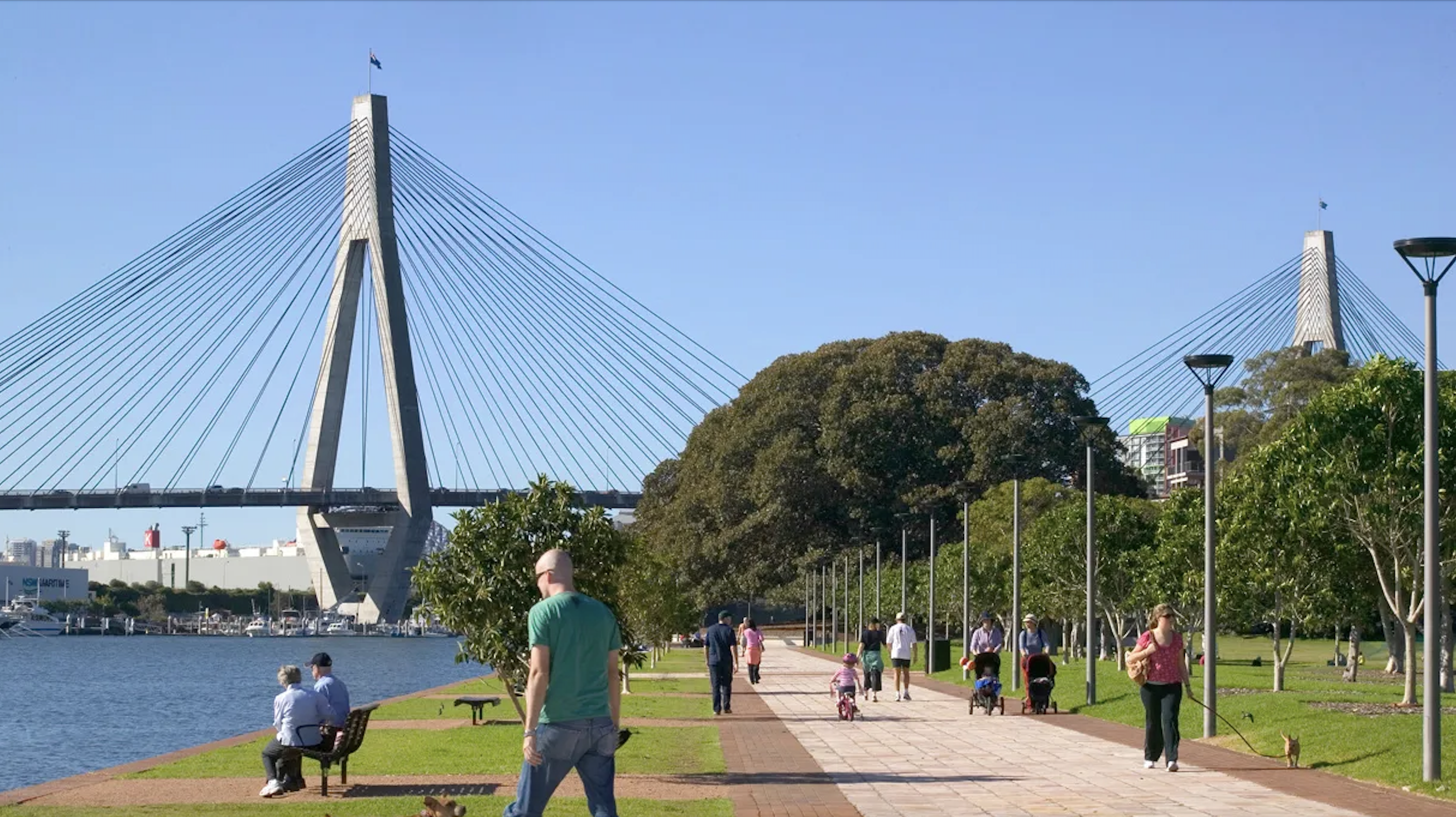
11. Manly to Shelly Beach
Start at the Manly Surf Club
Distance: 1.5kms return
Called the Cabbage Tree Bay Eco-Sculpture Walk, this short and leisurely walk is simply stunning. It is VERY popular on weekends so go on a weekday if you can. The walk features eleven sculptures that are designed to highlight the areas unique marine life and history.
Afterwards, enjoy a break at one of the many coffee shops nearby or why not have a play in the sand with the kids!
More information here.
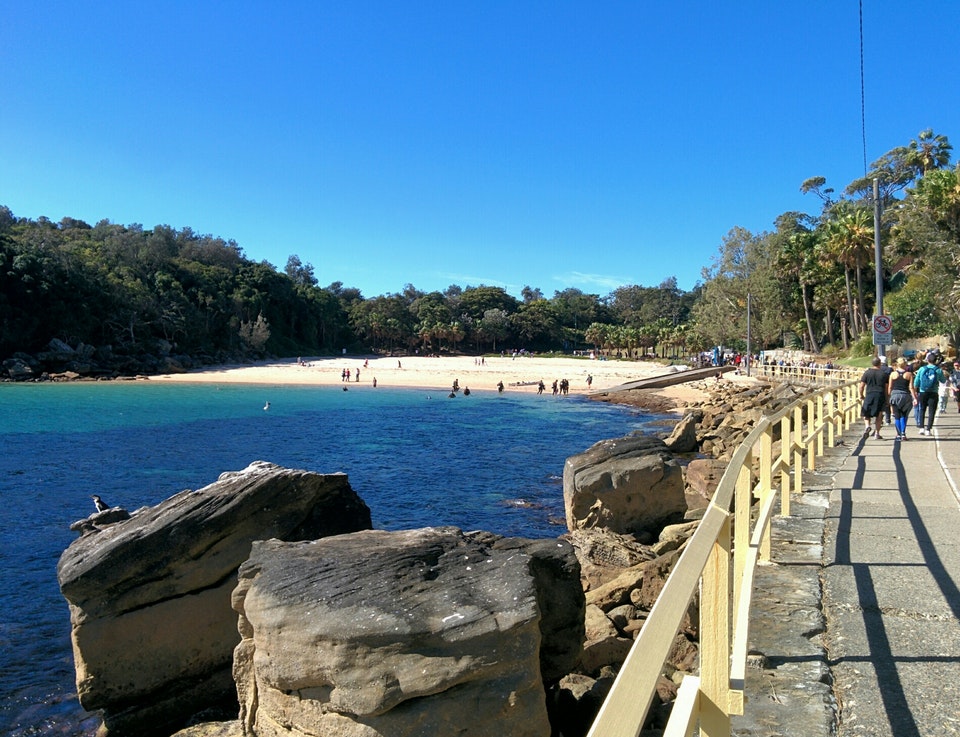
12. Centennial Park
Start at Darley Road, Randwick
Distance: 3.6km loop
This easy walking loop is a Sydney favourite and it’s no wonder with beautiful scenery, lots of opportunity for people-watching, bubblers, toilets, coffee stops and a great kids playground all in just 3.6kms! Best of all, the walkway is wide enough for two prams so it’s perfect for catch-ups with friends.
More information here.
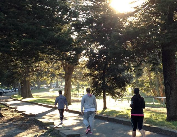
13. Barangaroo Foreshore Walk
Start at Towns Place roundabout near to Wharf 9 of Walsh Bay
Distance: 4kms return
The Barangaroo Foreshore Walk makes up part of the Barangaroo Reserve, a 6-hectare multi-level waterfront park. The reserve boasts over 70,000 trees, ferns, palms, shrubs and many other plants all native to the Sydney region. With beautifully landscaped gardens and panoramic views of Sydney’s glittering harbour, this new and stunning walk is a must-do for families. After your walk, you can enjoy the many attractions nearby, have lunch at a cafe or just sit and enjoy the view.
More information here.
14. Narrabeen Lagoon
Start at Jamieson Park, Berry Reserve, Middle Creek or Bilarong Reserve car parks
Distance: 8.4km loop
This beautiful circuit around Narrabeen Lake is a great way to enjoy our wonderful Australian flora and fauna. Along the way, you will find toilets, picnic spots, lots of ducks, playgrounds and cafes. If you want to make a day of it, pack your swimmers and head to North Narrabeen Beach it’s the perfect spot for babies and toddlers.
More information here.